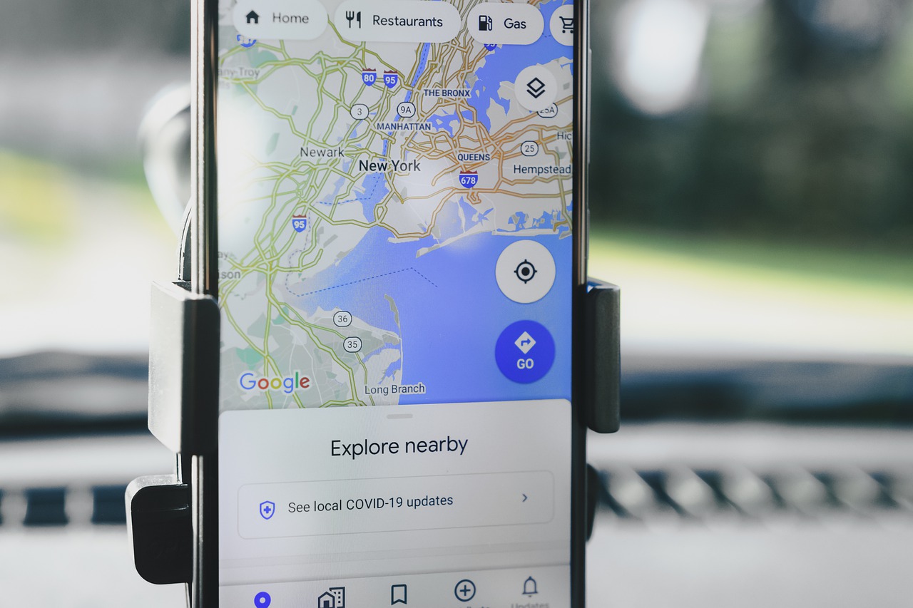
Google expands its offer of digital services; and now enters the aeronautical scene through a new functionality of the Google Maps application, which will assist users in terms of navigation and location within airports, maximizing the experience of users with the support of the development of digital technologies; the technology applied in this aeronautical aspect is part of the technological innovation that airports have implemented in the last year, among other trends and innovations.
Another way of seeing reality
As part of the most positive aspects in terms of the experience presented by Google, the application is the augmented reality function; which allows visualizing the real world through a device, being able to add virtual information to the existing in the material context; the intention of Google Maps within airports, train stations, and even within supermarkets, will be to use augmented reality to guide them within these closed spaces, providing more information to the user as to where to go if they do not know the place or simply according to their interests.
Augmented reality at airports
Airports can be perceived in a new way thanks to the augmented reality that Google Maps makes available to the user through the “Like view” function; the very name of the function alludes in Spanish to: “as if you saw it in the real-life.” The function could already be used in some cities such as Chicago, Long Island (New York), Los Angeles, Newark (New Jersey), San Francisco and San José (California), and Seattle (Washington). In the previous cities, the mobile through the camera shows the user the real image of the site accompanied by various indications and icons that provide information; this technology joins the new digital trends used in airports as we saw in Facial Biometrics for recognition at San Francisco International Airport.
The use it will have
For Google, this advance represents an achievement in the technological development of its virtual offer by integrating into the real world; the company’s bet is that the near future will be quickly covered by technological solutions that will facilitate our tasks, even the simplest through hybrid interpretation of our environment, in other words; the physical world through the support of digital information. The first cities where “Like view” will be available at airports are Tokyo and Zurich.
Google has announced some of the tasks where Google Maps together with “Like View” will be functional in an airport “to find the closest elevator or stairs at an airport or train station, as well as the boarding gate, the track, the baggage claim point, the counter, the toilets or an ATM. “The use of this technology corresponds to the nature of smart airports, as we could see in What is a smart airport? Angel Lovera’s answer.
What do you think of this topic? Do you think Google Maps continue to provide more solutions in the aeronautical world?
If you have any doubt or question, you can contact us or write your query in the comments section below.
Image by Photo_Mix en Pixabay under a Creative Commons license.
